회원현 성지(會原縣城址)
경상남도 기념물 제88호
회원현은 과거에 굴자군(同郡), 골포현(㉮), 의안군(義安郡), 합포현(合浦1282년(고려 충렬왕 8)에 회원현(會原縣) 등으로 불리다가, 1282년 (고려 충렬왕 8)에 회원현(會原縣)으로 바뀌었다.
이 지역 주민들은 이 성을 자산산성(山城)이라 부르기도 하지만, 원래는 이 곳 현을 다스리던 관청이 있던 현성(縣城) 자리이다.
또한 이 성은 몽고의 일본 정벌을 위한 전초기지였던 정동행성(征東行省)과 합포성으로 옮기기 전의 절도사영(節度使營) 등 중요 군사시설이 위치하였던 유서 깊은 곳이기도 하다.
회원현성지는 창원시 마산합포구 · 마산회원구에 위치한 무학산의 남쪽 기슭에 돌출한 낮은 야산 (해발 143.8m)의 서남쪽 계곡을 둘러싼 포곡식성(包谷式城)으로 남북방향이 긴 장타원형 모습을 하고 있다.
현재 성벽은 산의 정상부를 중심으로 약 620m 정도가 잔존하고 야산 능선을 따라 너비 4.3~5.2m, 최고 높이 4.5m 규모로 축조되어 있다.
발굴조사 결과 성벽은 여러 번에 걸쳐 수리되어 재차 사용되었음과 흙을 켜켜이 쌓아올리는 판축(版築) 기법으로 축조되었음을 알 수 있었다.
성의 동북쪽은 추산동 뒷산으로 가파른 절벽을 이루고 있고, 남쪽은 자산천이 흘러 자연적인 해자(线)이룬 것으로 추정된다. 동·서·남·북 사방에 문지(門址)가 위치하였다고 전해지지만 1988년 도시굴조사에서 북문이 있었던 자리와 북문 밖에는 적의 접근을 막기 위해 도랑(戊子) 을 팠음을 확인하였다.
2005년~2006년 발굴조사 결과를 토대로 2007년~2008년 회원현성지의 토성 (약 315m)과 산정상부에 망루 (望樓) 1동을 복원하였다.
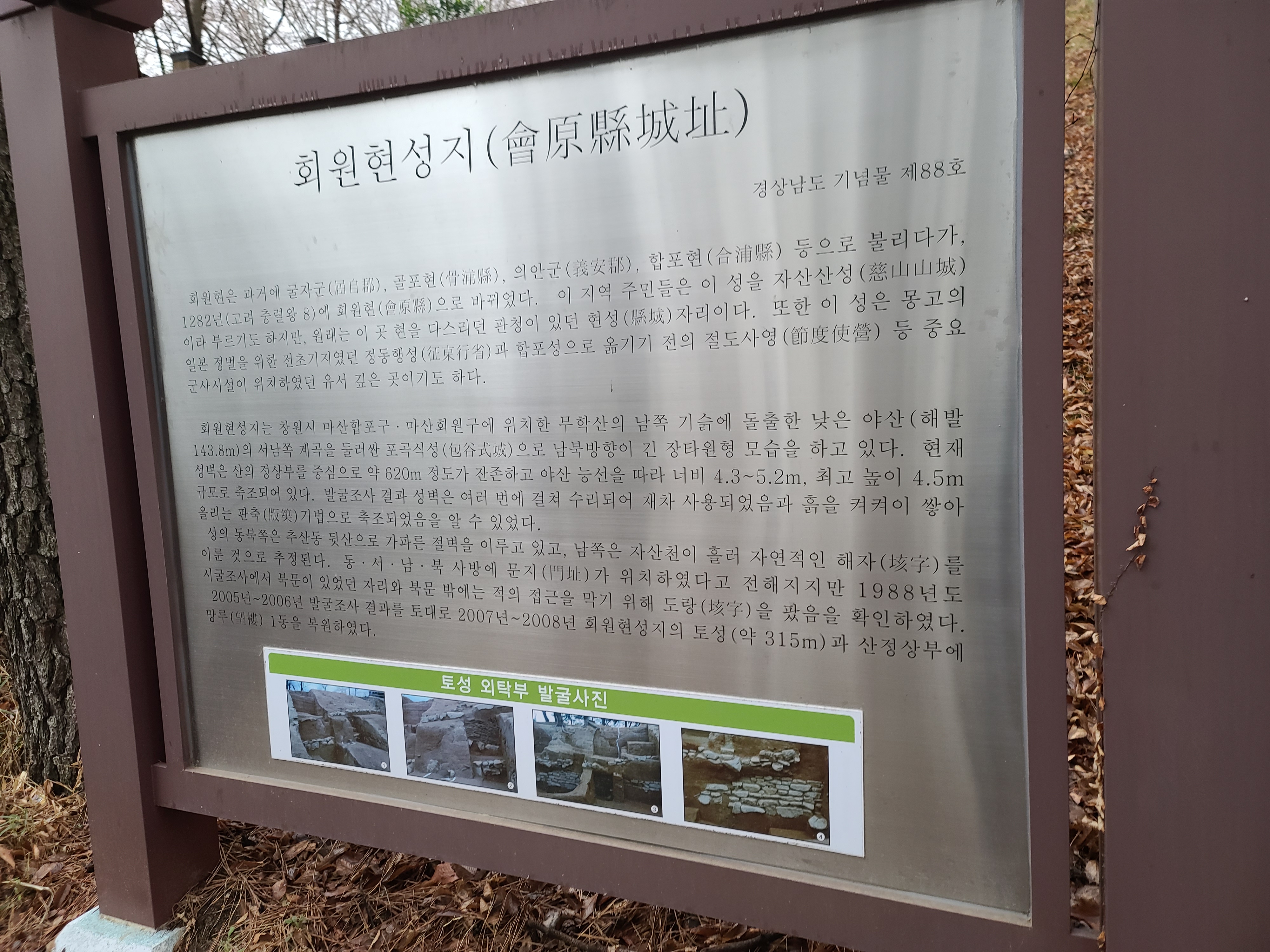
토성 외탁부 발굴사진

The Hoewonhyeon Fortress Site Gyeongsangnam-do Province's Monument No. 88 The area received its present name of Hoewon-hyeon in 1282 or thr 8th year of the reign of King Chun-gnyeol of the Goryeo Dynasty). Local residents also call it Jasansanseong Fortress. IT was once the site of the Hyeon Office that governed the area, and before that served by Mongol forces for their conquest of Japan. Later, the by Mongol forces for their conquest of japan. Later, the headquarters was moved elsewhere. The fortress used to dominate the valley to the southwest Muhaksan Mountain in the Masanhappo-gu · Masanhoewon- fortress running for about 620m (4.5m at the highest point mountain. The results of a survey indicated that the fortress a perpendicular forms wall running toward Chusan-dong. It is conjec. It is said that the castle The northeastern side of the castle tured that the Jasancheon Stream flowing to its south used to formerly had four gates, one for each of the four directions the north gate. (or the 8th year of the reign of King ChunJasansanseong Fortress. It was once the site of as the local military unit headquarters used headquarters was moved elsewhere. of a low oval-shaped hill at the southern foot of gu, Changiron-si. At present, a section of the and 4.3-5.2m wide) remains at the top of the was repaired many times. serve as a natural moat . In a survey carried out in 1988, traces of a during moat were found outside A 315-meter-long section of the fortress and the observation carried out in 2007 and 2008, based on the survey conducted between 2005-2006 記念物 第88号 会原県城址 骨浦県, 義安郡, 合浦県などと呼ばれ,1282年 (高麗忠烈正 があった県城の地である。また、本城は蒙古による日本在住の渡谷をめぐる包谷式域で南北に れている。 慶尚南道 8年)に会原県となった。この地域の住民は本城を盛山山城 の前哨基地であった征東行省と と 会原県はかつて屈自郡, とも呼んでいたが,本來はこの県を治めていた官庁 合浦城に移る前の節度使造なぞ,重要な軍事施設が位置していた由緒ある場所でもある。 城址は 昌原市馬山合浦区・馬山会原区に位置する舞鶴山の南側山麓に突出した低丘陸 (海拔143.8m) 西側 城壁は山頂部を中心に約620mほどが残存し、尾根に沿って幅 4.3~5.2m,高さ4.5m(최고)の規模で築造さ 使用されていたこと、土を層状に積み上げる版築技法で築造されていたことが判明した。 自然の攻字(堀)をなしていたと推定される。 東北の四方に門があった いたことが確認された、2005年~2006年の発掘調査 会原県 長い楕円形を呈する。現在, 発掘調査の結果,城壁は数度にわたり修理され、再 城の東北は錫山洞の裏山の険しい絶壁になっており、南は森山川が流れ、 おり,1988年度の試掘調査で北門と,その外側に敵の接近を防御する堀を設けて 年に会原県城山の土城(約315m)と山頂部に望校1械を復元した。 伝えられて 結果をもとに,2007年~2008
'정보모음' 카테고리의 다른 글
| 철도역사 이야기 하나 되어 꽃이 되다 마산역 Masan Station (0) | 2021.08.08 |
|---|---|
| 하반기부터 바뀌는 법안들 (0) | 2021.07.14 |
| 회원현 토성의 축조기법 會原縣土城築造技法 The Technique Used to Build the Earthen Fortress in Hoewon-hyeon, Masan (0) | 2021.07.07 |
| 회원현성지 會原縣城址 (0) | 2021.07.05 |
| 기획재정부 3대 분야 10대 성과 (0) | 2021.05.15 |


댓글